

User Research | User Testing | Illustration
Project Objectives:
Create a multifunctional way-finding system for Franklinton residents, Franklinton Farms staff, and volunteers to locate the various farms locations throughout the neighborhood.
Franklinton Farms is a nonprofit urban farm in Columbus, Ohio that utilizes sustainable agriculture to build a just local food system that improves food security and provides economic opportunity. (View more at franklintonfarms.org)
Final Map Design
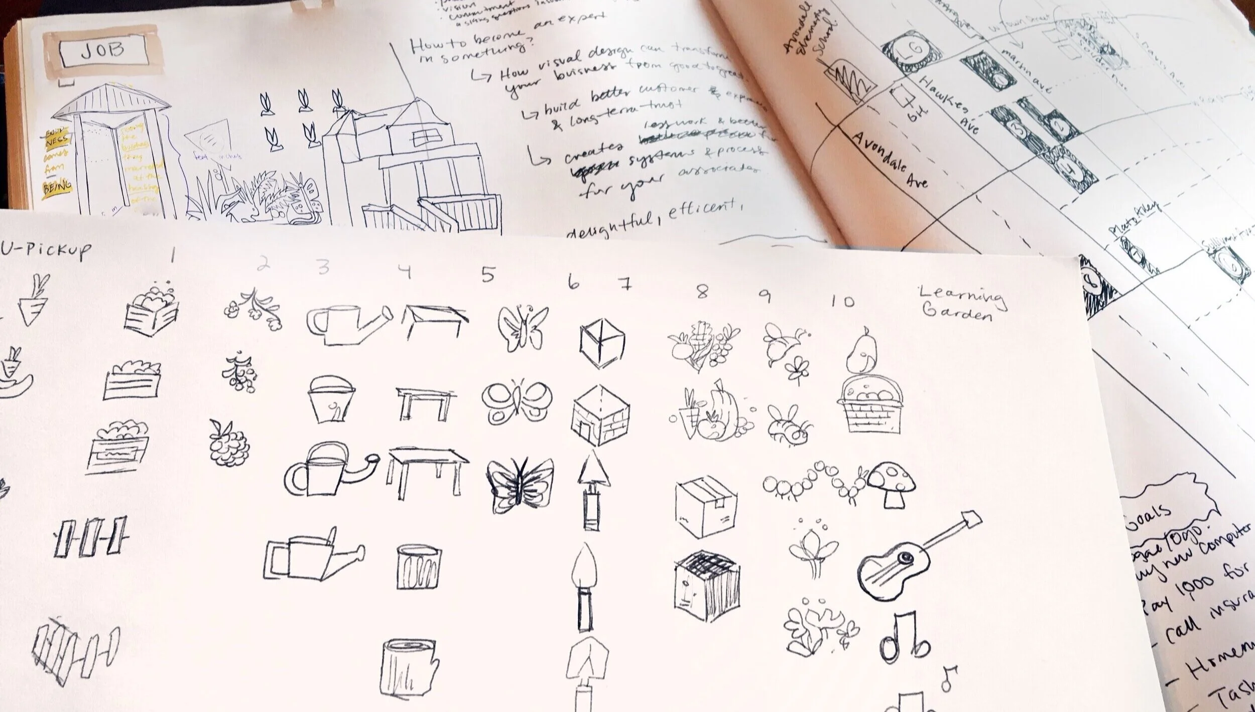
The illustration-based identification of the farm locations is one of the key features.
When conducting research about the Franklinton Residents, there are people who could not read or had a low-reading level abilities. To make the poster more user-friendly to all audiences of various ages and reading abilities, colorful and engaging graphics were used as identification for the various farms.

Final Icon Illustrations
The Process
Meet the Team

The Design Process

Stakeholders


Pain Points of Old Map
Poor Text Hierarchy
(Not enough contrast between type so it’s hard to differentiate between the garden locations)
Too Much to Read
(Word-based identification of the farm locations makes usability difficult for people with different reading abilities)
Poor Content Hierarchy
(Garden locations need to be the primary focus but are way too small while Mt Carmel takes up a large amount of visual space)
Unnecessary Information
(People don’t need to know how to get there by the highway if they are already looking at the map on the Franklinton Farms location)


